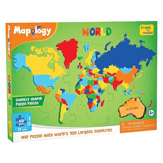
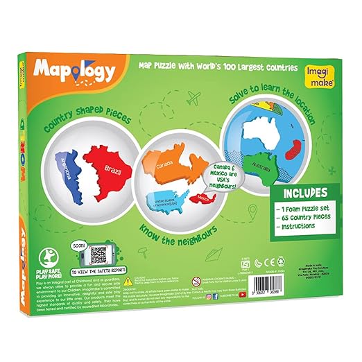
“Imagimake: Mapology World- World Map and Its Countries” is an educational and interactive geography kit designed to enhance children’s understanding of the world map and its countries. Created by Imagimake, this innovative learning tool combines fun and exploration to make geography engaging for young learners.
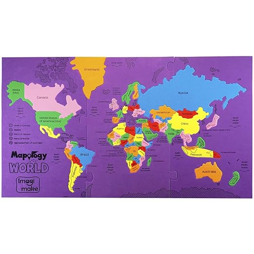
The kit includes a large, colorful world map poster that serves as the centerpiece of the learning experience. With clear labeling and vibrant illustrations, the map provides children with a visual representation of the continents, oceans, and countries of the world. Each country is depicted with its flag, making it easy for children to identify and recognize different nations.
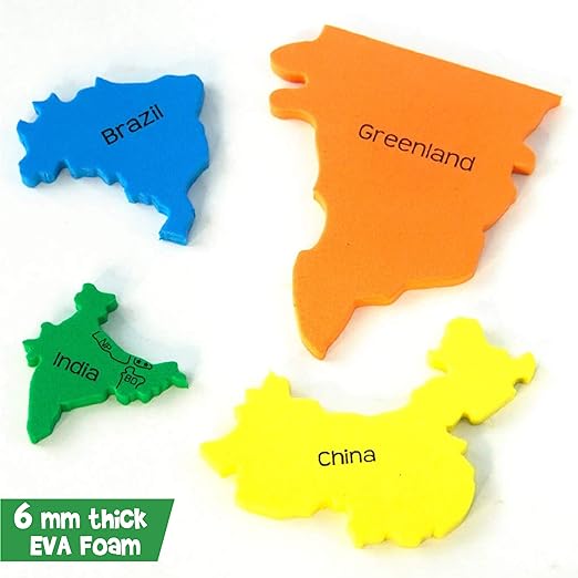
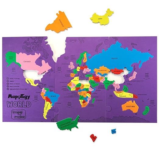
Accompanying the map poster are a set of country puzzle pieces, each representing a specific country on the map. These puzzle pieces are designed to fit perfectly into their corresponding outlines on the map, allowing children to learn the shapes and locations of countries through hands-on play. As children piece together the map, they develop spatial awareness and improve their fine motor skills.
In addition to the map and puzzle pieces, the kit includes informative flashcards that provide key facts and trivia about each country. From capital cities to famous landmarks, these flashcards offer valuable insights into the cultural and geographical diversity of the world. Children can use the flashcards to quiz themselves or play interactive games with friends and family, reinforcing their learning in a fun and interactive way.
Imagimake: Mapology World is more than just a geography kit; it’s a tool for sparking curiosity and fostering a love for exploration and discovery. By engaging children in hands-on activities and providing them with valuable knowledge about the world around them, this educational kit empowers young learners to become global citizens with a deeper appreciation for diversity and culture.



Reviews
There are no reviews yet.